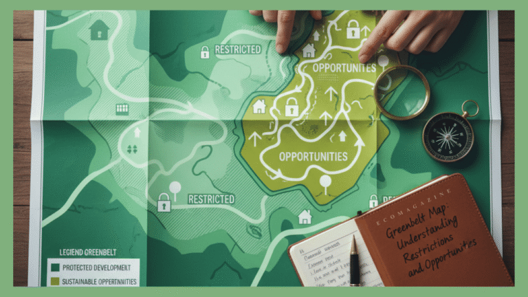
Greenbelt is a word that is always mentioned in relation to the policies of planning in the UK. But it still remains a source of confusion to homeowners, architects and developers. To any person planning to extend or develop or buy property in an area close to the countryside. It is important to learn about a greenbelt map. It is not simply a green patch on a screen but is decades of planning in cities to safeguard the open land. The nature, open space and to tame the urban sprawl. This article is going to address the question of how one can read a greenbelt map. What a greenbelt land is, and what the restrictions and opportunities are regarding planning on these lands.
How to Read a Greenbelt Map and Identify Building Restrictions
People use the term greenbelt land to describe the areas of countryside that surround towns and cities in the UK. This designation aims at ensuring that these open spaces remain green all the time and limit uncontrolled urban sprawl. Greenbelts serve as a buffer which conserves the identity of rural communities and provides the residents with access to nature which is worthwhile. They are also very important in the preservation of biodiversity, local agriculture as well as the quality of air around urban areas.
You can read more about the greenbelt planning loopholes in the UK.
The idea of the Greenbelt came in the year 1945 following the second World War as an effort to control the growth of the city in a sustainable manner. In England alone, more than 1.6 million hectares of greenbelt land exist today, protected through strict planning policies. These, however, are not entirely open to development. Rather, the greenbelt map assists in recognising areas where the development can be limited- but some projects can still be developed under certain circumstances. These maps are important in making informed decisions on planning.
What is Greenbelt Land and Why It Matters
You can access the greenbelt map through a few official sources, such as local council websites and the UK government’s planning portal. As soon as you open a map. You can see there are some shaded areas (usually in green) which indicate land that belongs to the Greenbelt. Nevertheless, every local authority has its own detailed greenbelt map. And therefore, boundaries and regulations may vary slightly based on the area.
Question, can you build on greenbelt land
In order to interpret a greenbelt map successfully, it is necessary to remember what colours areas mean. Green areas usually denote safeguarded land where strict regulations control development. While unshaded or white areas indicate land outside the Greenbelt. Another consideration worth making is that there could be other settlements or farm buildings in some parts of the Greenbelt. These regions could have a few variations in rules about extensions, conversions or redevelopment projects.
Whenever planning a property purchase or development in an area near these zones. It is always good to ensure that you overlay the greenbelt map on the database of your local planning authority. This will help you stay up to date with the latest changes. As local authorities occasionally review or adjust Greenbelt boundaries through local plans and consultations.
How to Access and Read Greenbelt Maps
After you have found the greenbelt map of your area you should have. The next thing is to know the planning limitations. The primary aim of Greenbelt policy is to avert urban sprawl not that the development is not allowed. The National Planning Policy Framework (NPPF) defines which types of construction are appropriate in the Greenbelt.
In most cases, new constructions are not allowed unless they serve specific purposes such as agriculture. Outdoor recreation, or critical infrastructure. However, property owners can extend or convert existing homes or farm buildings in the Greenbelt as long as their plans preserve the land’s openness. Planners must always consider openness as a key factor in every decision. Authorities may reject any project that significantly alters the area’s visual or physical openness.
Through scrutiny of the greenbelt map, architects and planners can be able to determine those areas that are more flexible. As an example, the land located at the edge of the Greenbelt or close to the existing settlements could provide the possibility of sensitive development. Developers may occasionally redevelop brownfield sites on the Greenbelt boundaries. But their designs must comply with sustainability objectives and preserve the landscape’s character.
Homeowners can save time and money by understanding the greenbelt map. Many people mistakenly believe that all rural-looking land is part of the Greenbelt and that Greenbelt land can never change. As a matter of fact, the maps continue to develop with councils revising their local plans. Which implies that some of the plots can be reclassified or developed to some extent in future.
Planning Restrictions in Greenbelt Areas
Stringent requirements guide development in the Greenbelt regions. And authorities evaluate each proposal based on its impact on the transparency, nature, and purpose of the Greenbelt. National and local policies allow inappropriate development only in very special cases. This may involve instances where the results of an offer are evidently more beneficial than the damaging effect on the Greenbelt.
Using the example of a new eco-friendly house or a community facility, planners can consider how the project might strengthen the local economy or improve public access to open land. However, every planning application should include strong design arguments and clear evidence showing that the project does not significantly affect the landscape. It is at this point that architectural skills come in handy.
It may be necessary to have professionals who know how to read a greenbelt map and manoeuvre planning systems. A seasoned architect can help draft a well-grounded application. Ensuring the proposed design respects the natural beauty of the area and complies with all relevant planning laws. They are also able to communicate with the local authorities directly to address any possible site specific exceptions or alterations to the design.


